5 Granite Outcrops you Need to Visit in the Wheatbelt
The Wheatbelt region of Western Australia, as its name suggests, is famous for its cereal cropping. With its relatively flat landscape and trees cleared to make way for farming, the granite outcrops stand out like a sore thumb. I was going to call this post your ultimate guide to rocks in the Wheatbelt but there are just way too many to list! Everywhere you go another huge rock pops up out of nowhere. So instead, I’ve chosen 5 to cover in detail, all within a four-and-a-half-hour drive from Perth city. They are listed below in the order that we visited them. I feel as though each rock is bigger and better than the one before it so this would be a great itinerary if you’re considering a road trip to the area. As an added bonus, free camping is available at each destination! I’m not going to lie, I was a sceptic at first. I also thought ‘Who on earth wants to drive around for days looking at rocks?’ but this turned out to be one of my favourite trips so far!
1. Billiburning Rock
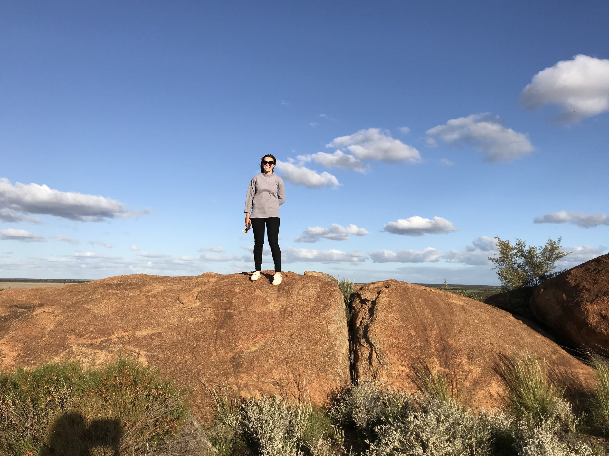
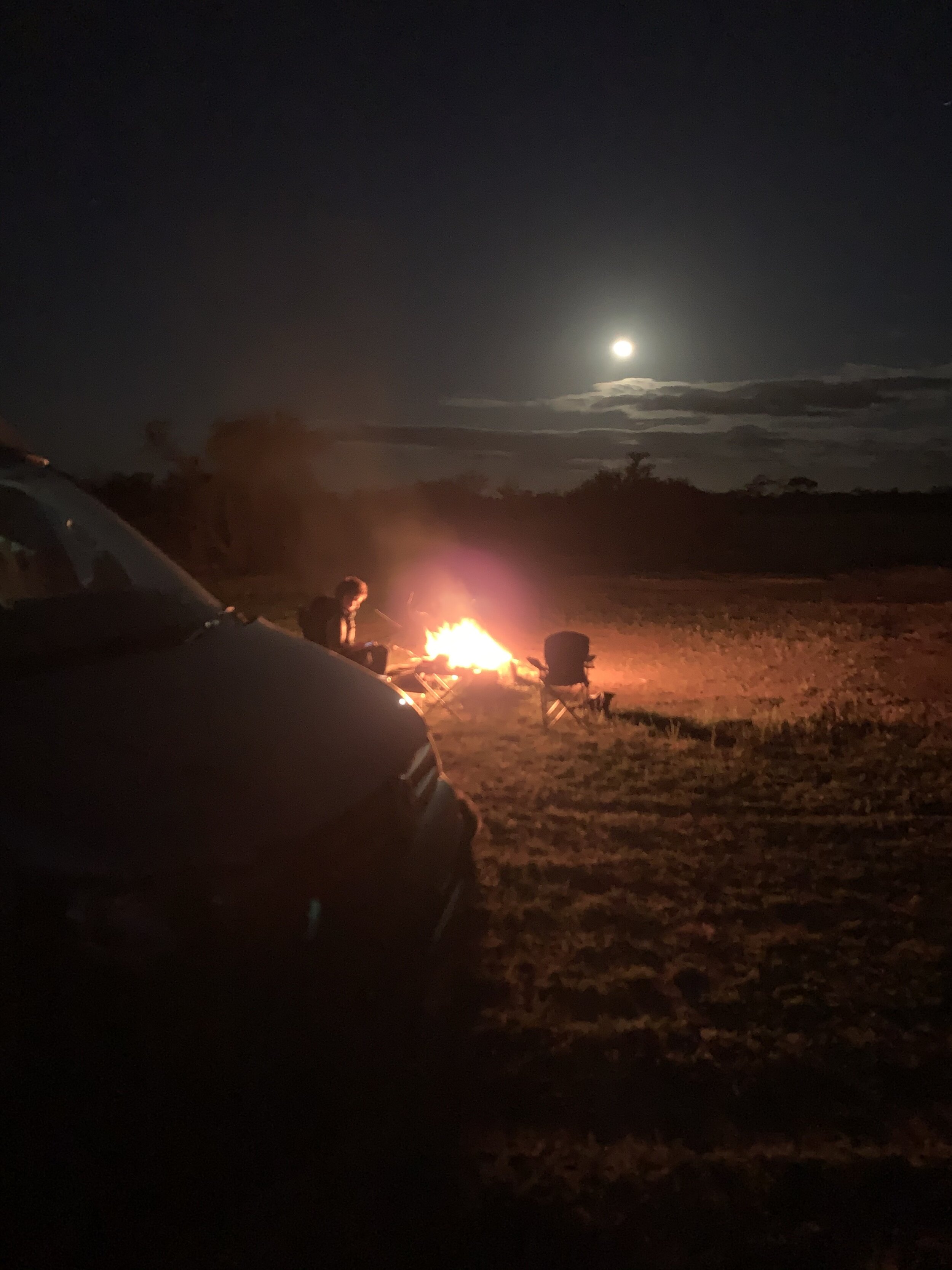
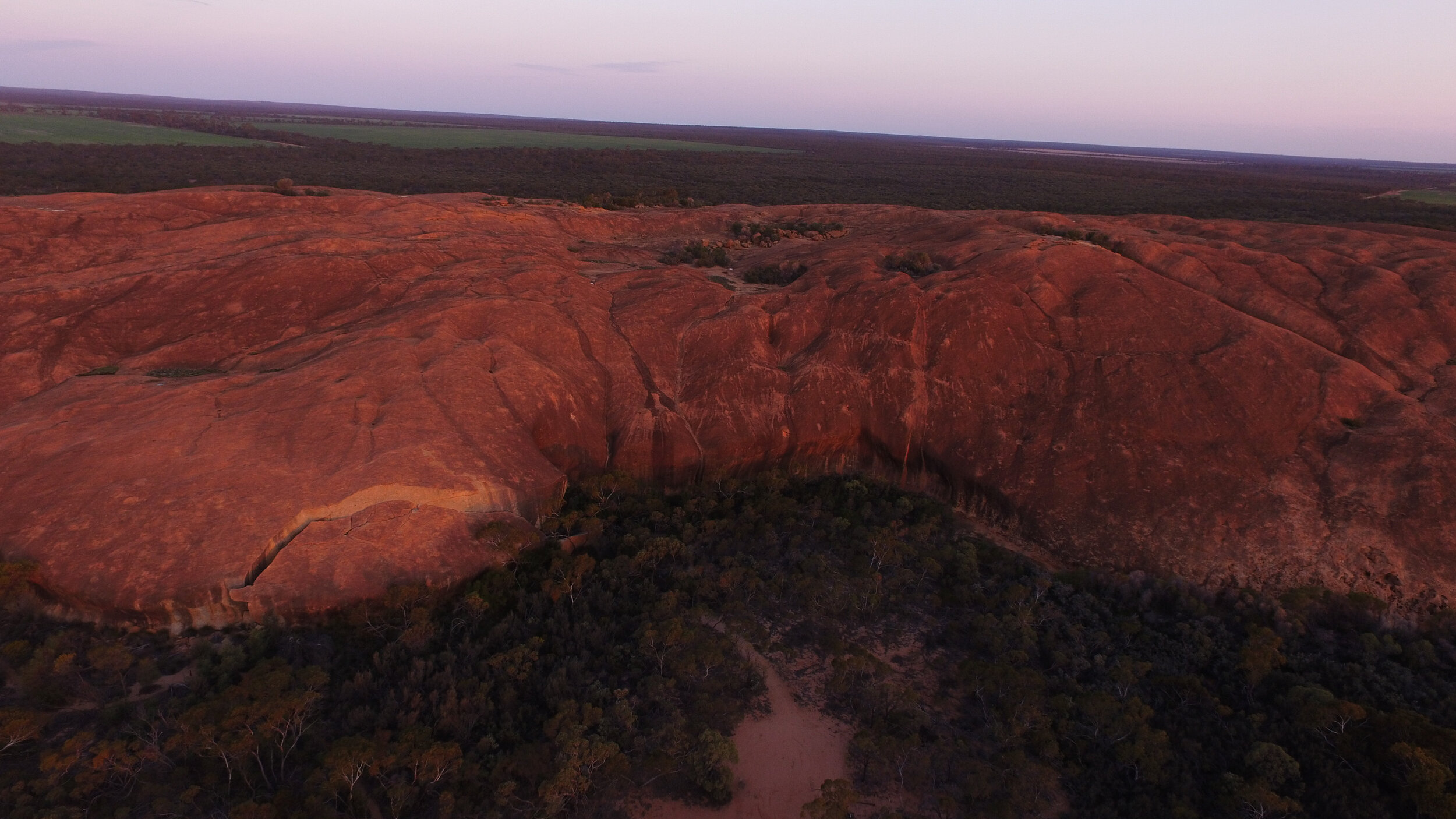
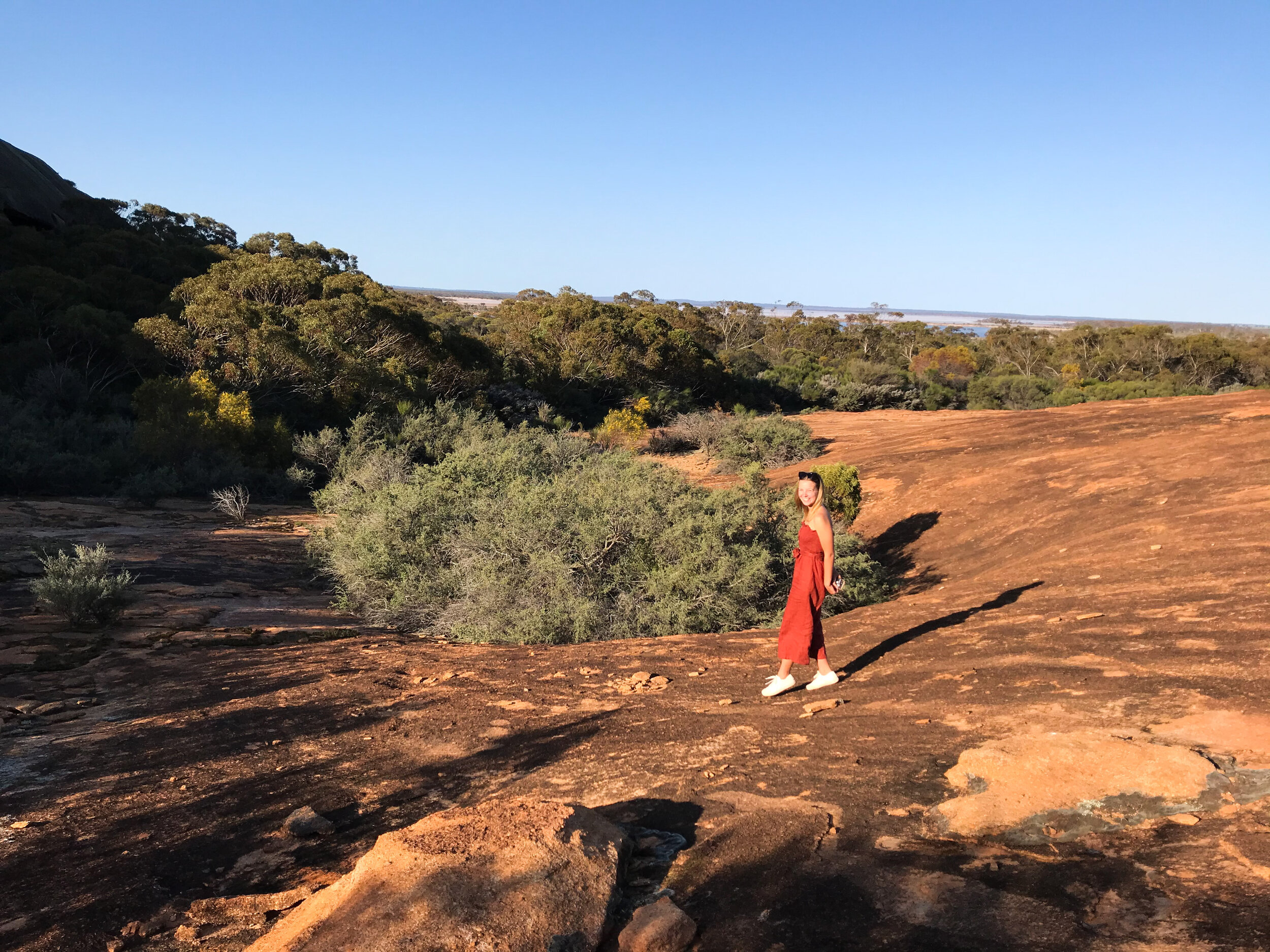
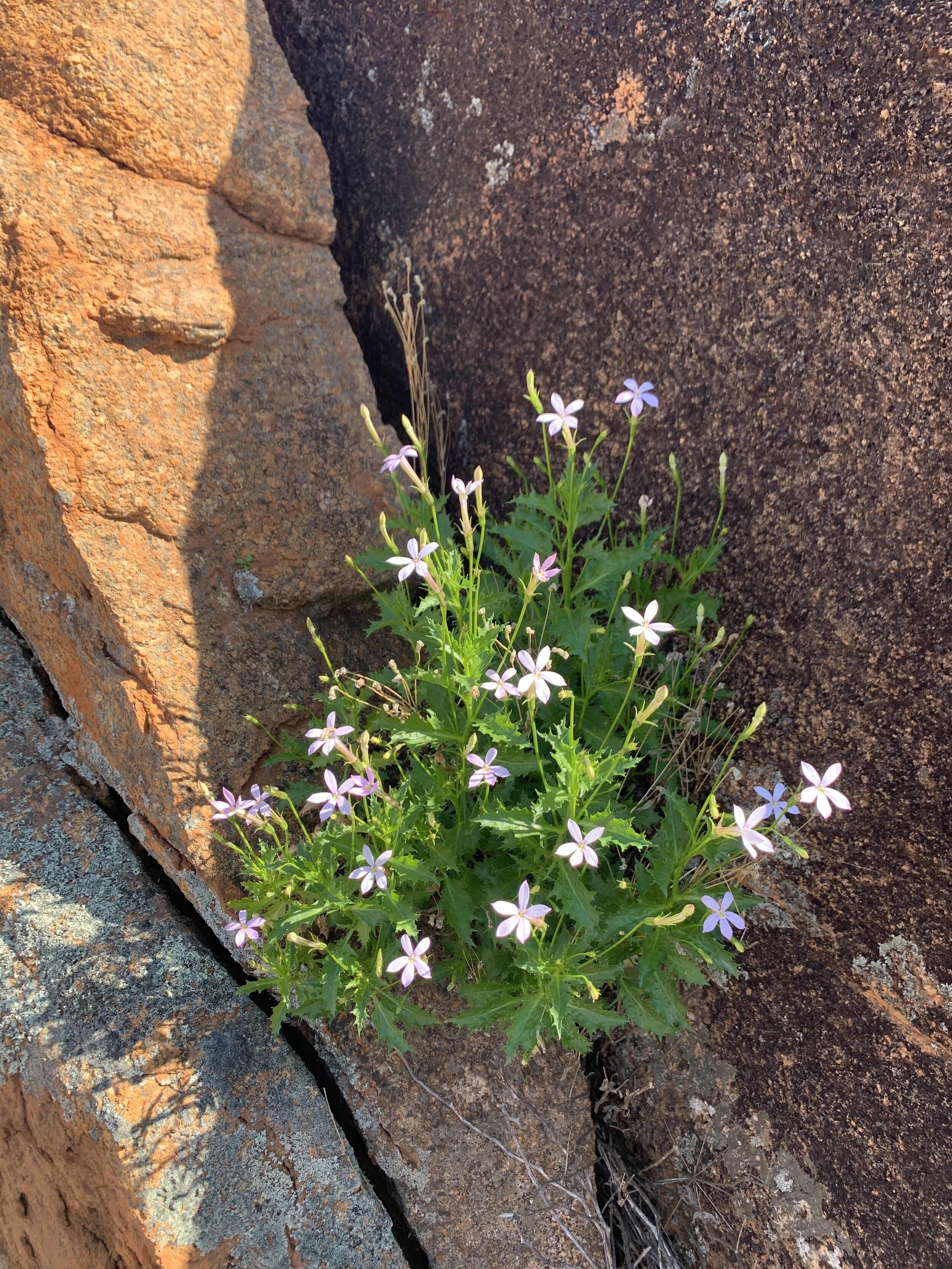
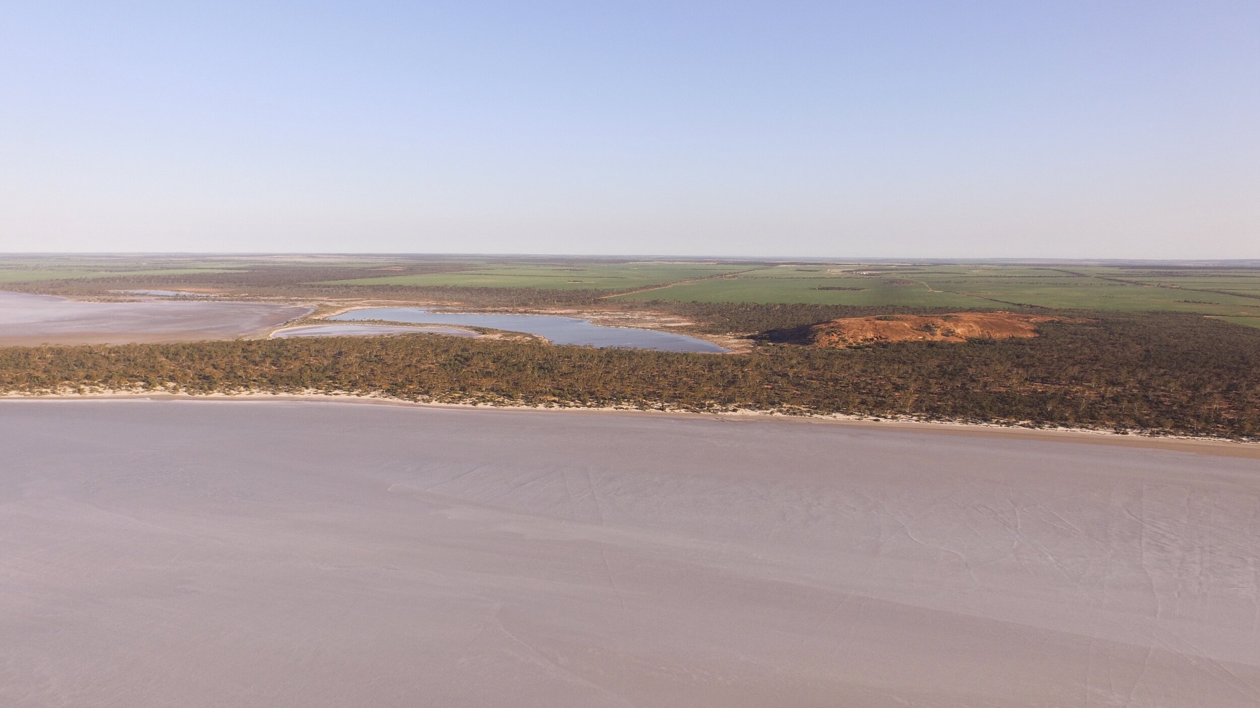
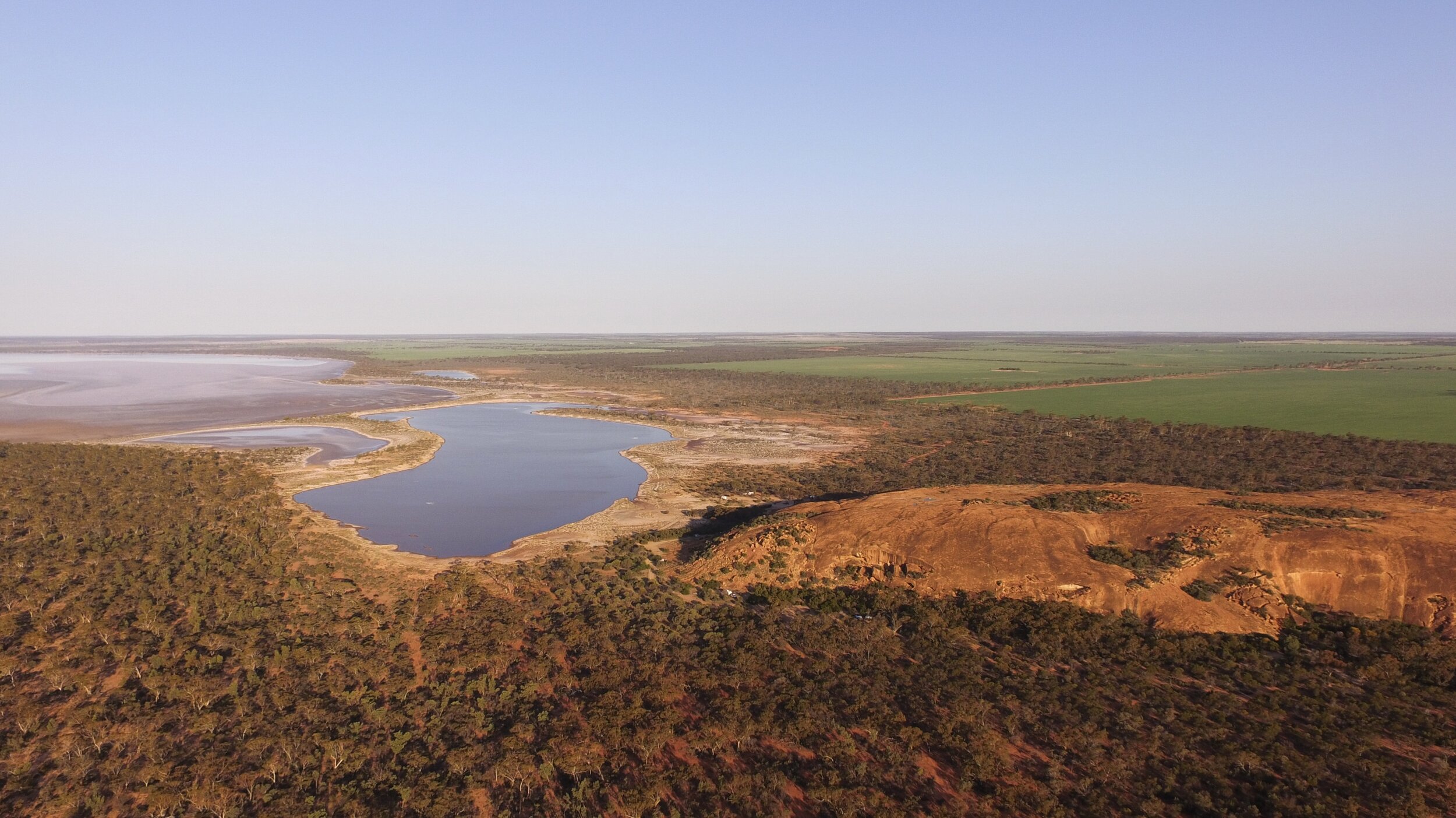
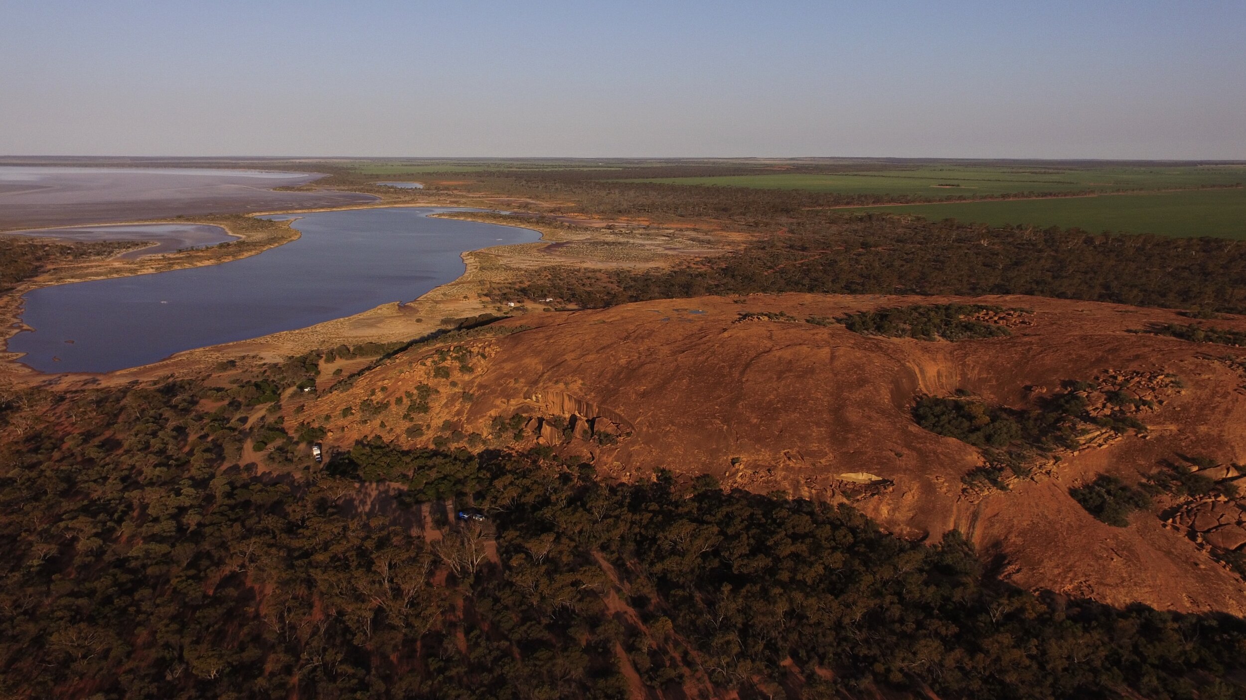
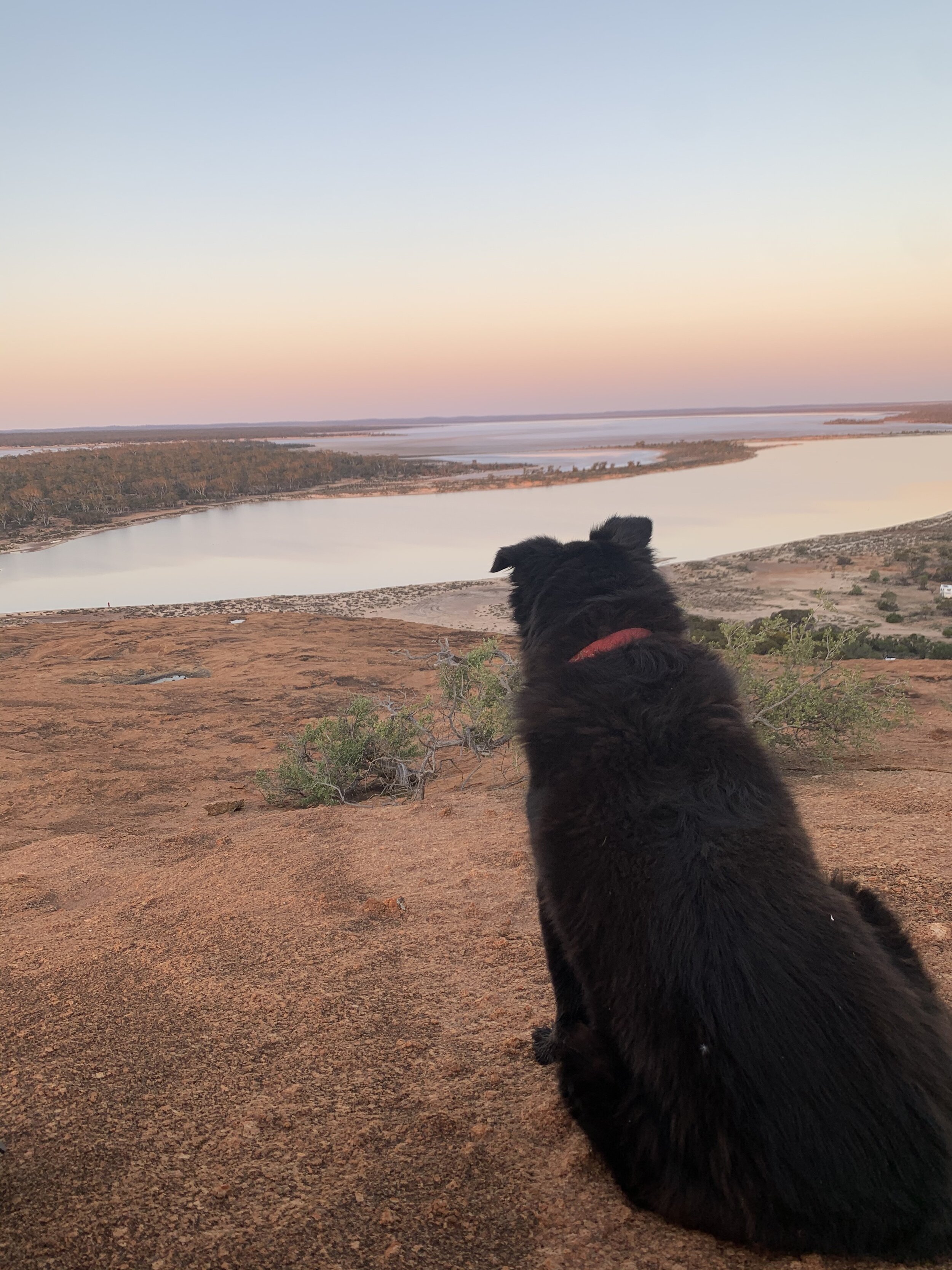
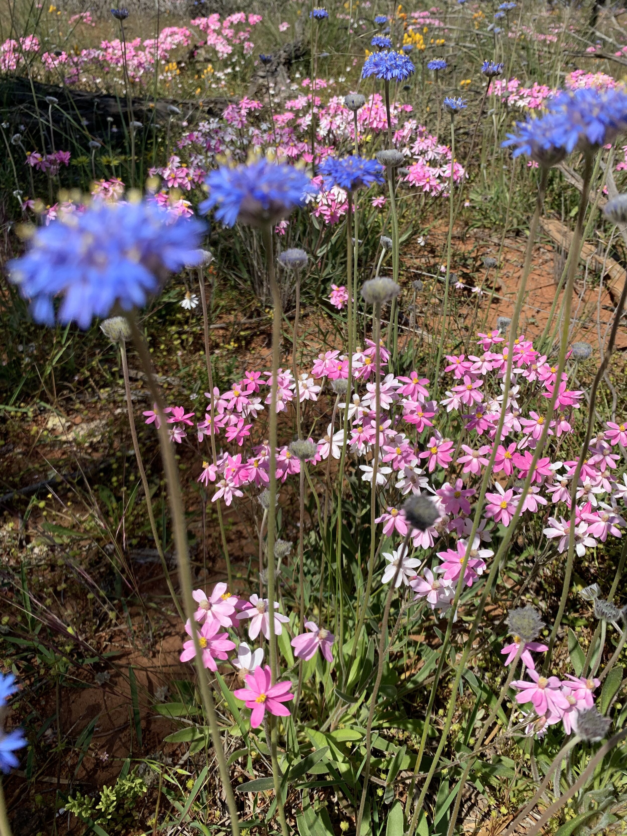
Less than four hours drive North East of Perth, you can find Billiburning Rock located in Karoun Hill Nature Reserve. We actually stumbled across this rock when we were looking through the Wheatbelt Way App and then decided to stay and free camp overnight. There were three separate campsites dotted alongside the rock. One as you entered the reserve in a large field and the other two located further along, closer to the camp toilet facility. If you visit Billiburning during wildflower season (August/September) you are in for a real treat. There were pink and white everlastings scattered everywhere below the shrubbery. Check out the view from my swag below! We camped here overnight but if I’m being honest, I think it’s better as a picnic stop. There are picnic tables and a bit of exploration to be had but there are definitely more exciting outcrops! If you do end up camping, it’s just a small climb to the top of the rock so do yourself a favour and don’t miss the sun setting over the surrounding farms.
2. Beringbooding Rock
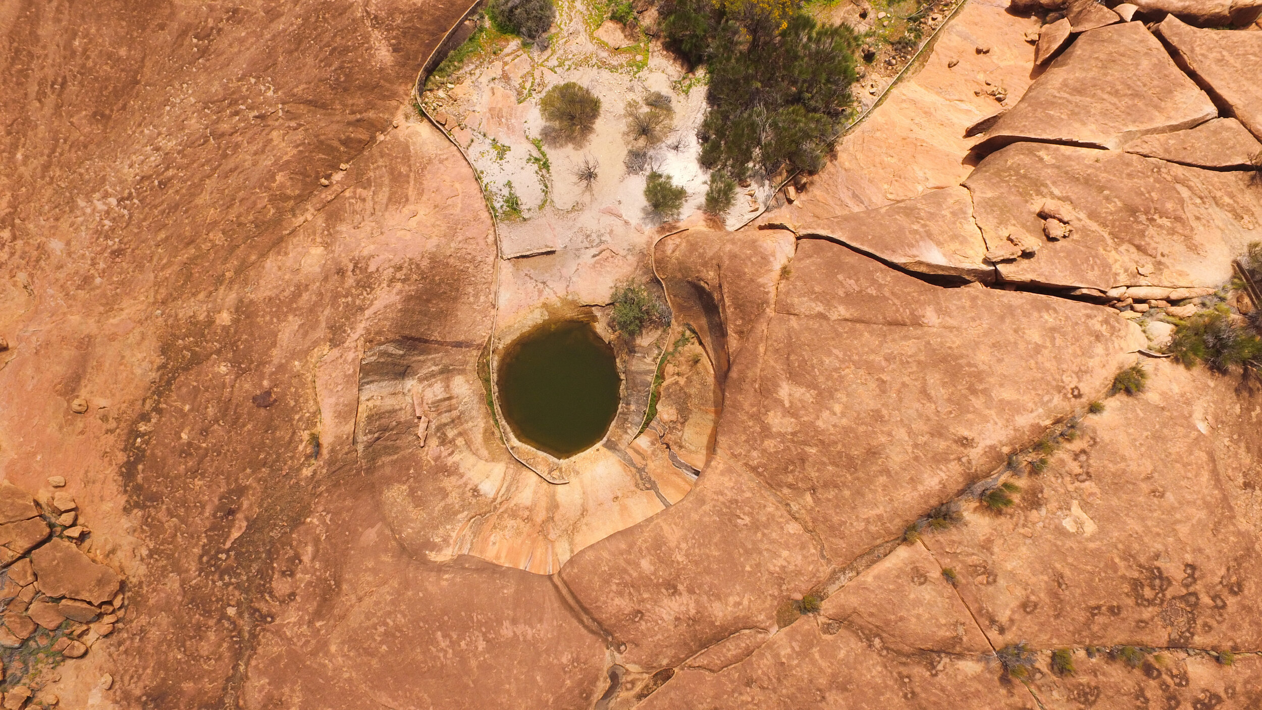
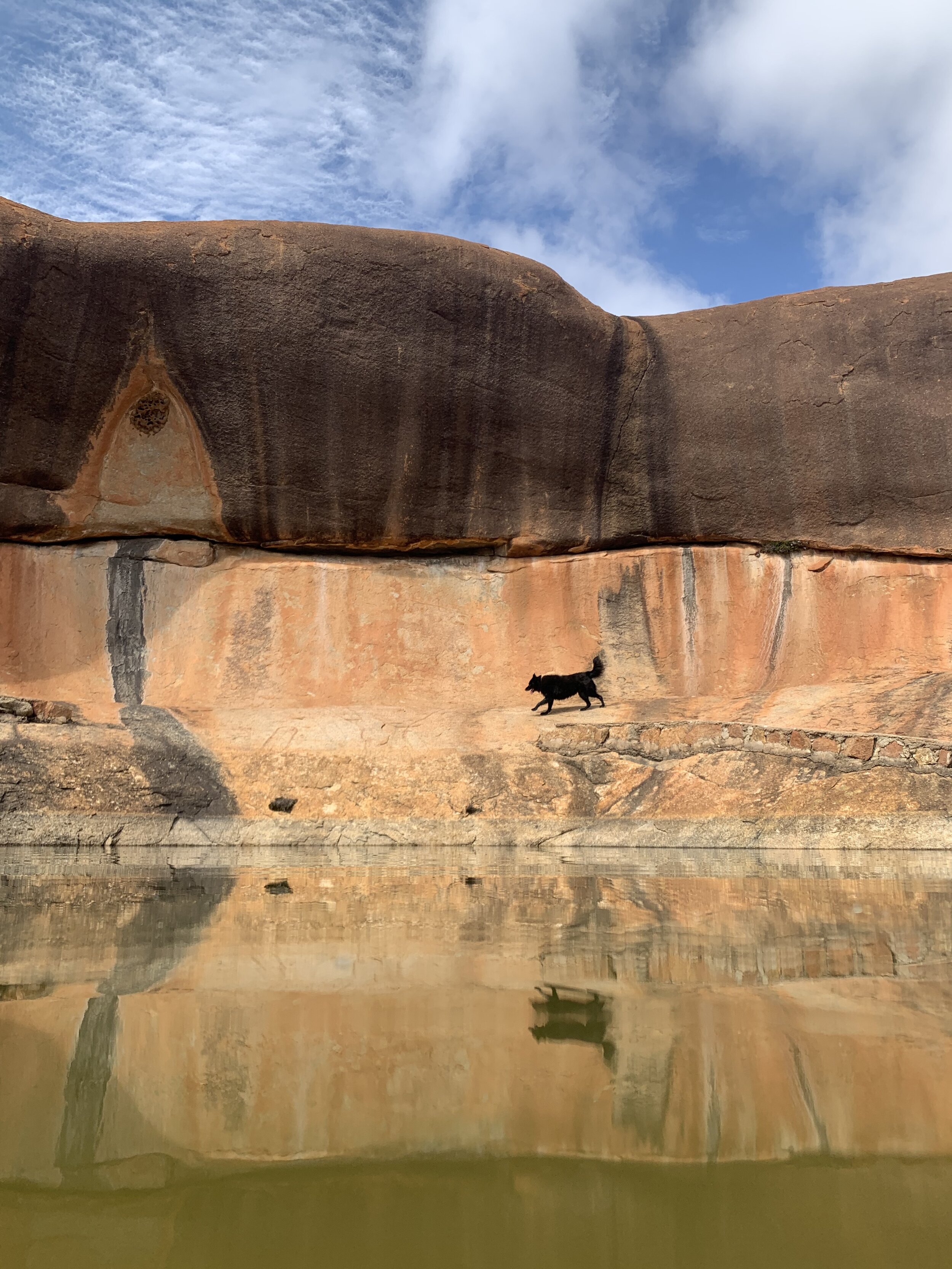
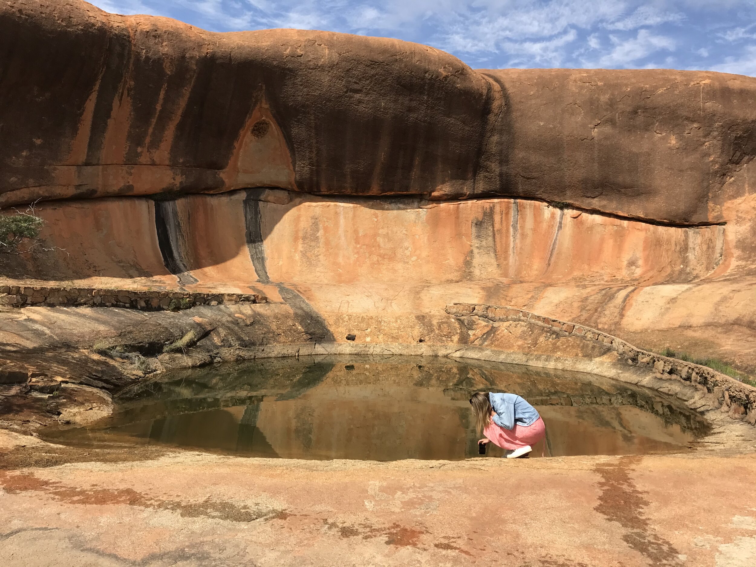
This is where my interest in rocks really began (I never thought I’d say that). As you drive up to Beringbooding Rock, the first thing you notice is a gigantic water tank right next to the rock. I initially thought it had been put there for the campers and wondered why they would taint the beauty of the rock like that. Then you see a metre-high wall looping all the way around the bottom of the rock. So, it turns out that Beringbooding rock is the largest rock water catchment in Australia and the wall acts as gutters to catch the rainfall. After reading the information board, I learnt that the tank was built by 100 men in the early 1900’s to support farming in the area. It cost 10,000 pounds to build and holds over two million gallons of water. My favourite bit about this rock though was the gnamma hole (I had to google this too! Gnamma hole is the Indigenous name for a natural water tank). It’s a beautiful water hole with the rock acting as a natural amphitheatre, looping around it. We spent most of our time enjoying this one section of the rock but there’s also a 2 and a half kilometre walk right around the base, Indigenous hand paintings, wells and balancing rocks to explore. We just stopped for lunch but I would definitely recommend camping here overnight if you can! Toilets, free camping and picnic areas provided.
3. Elachbutting Rock
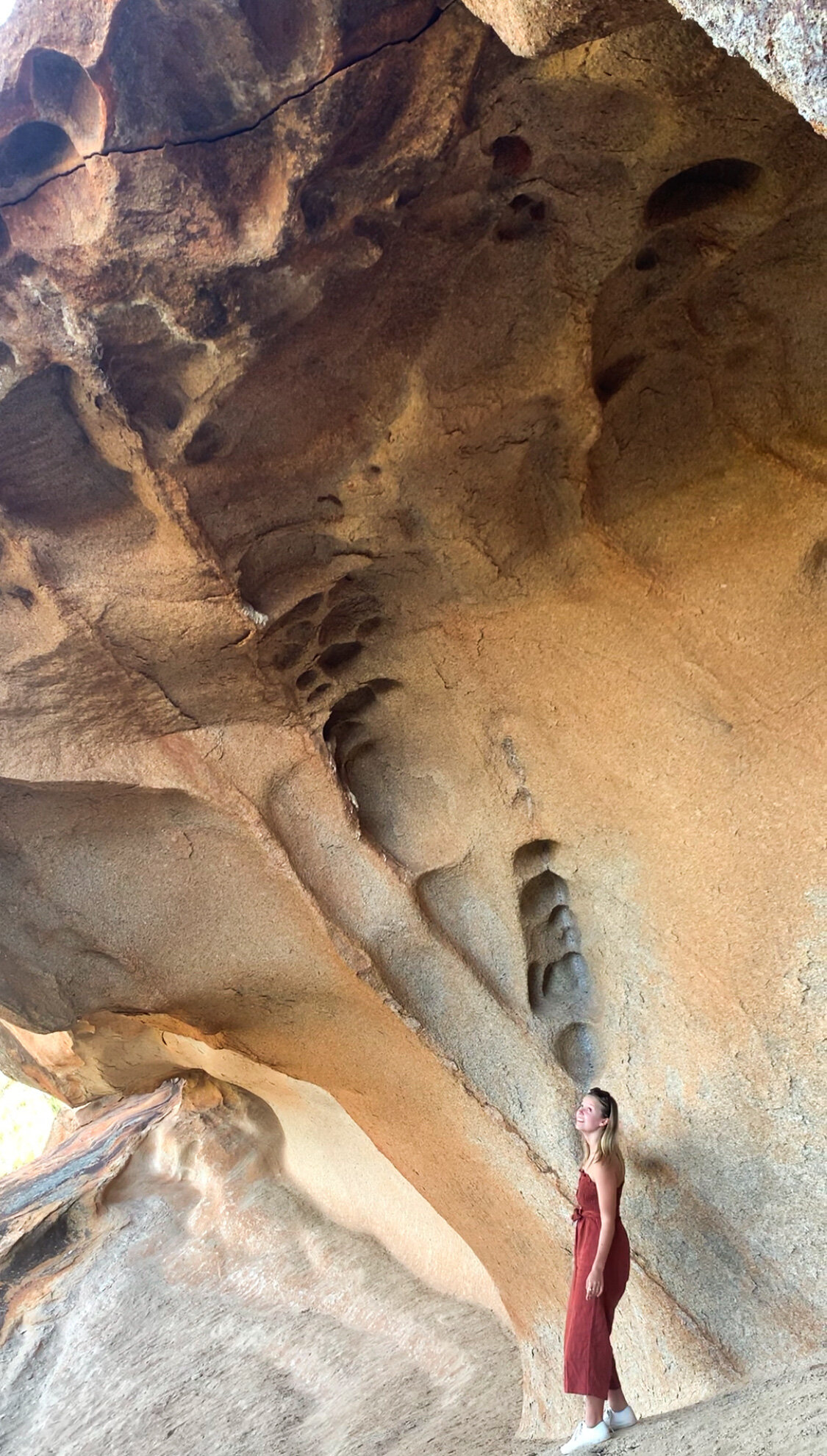
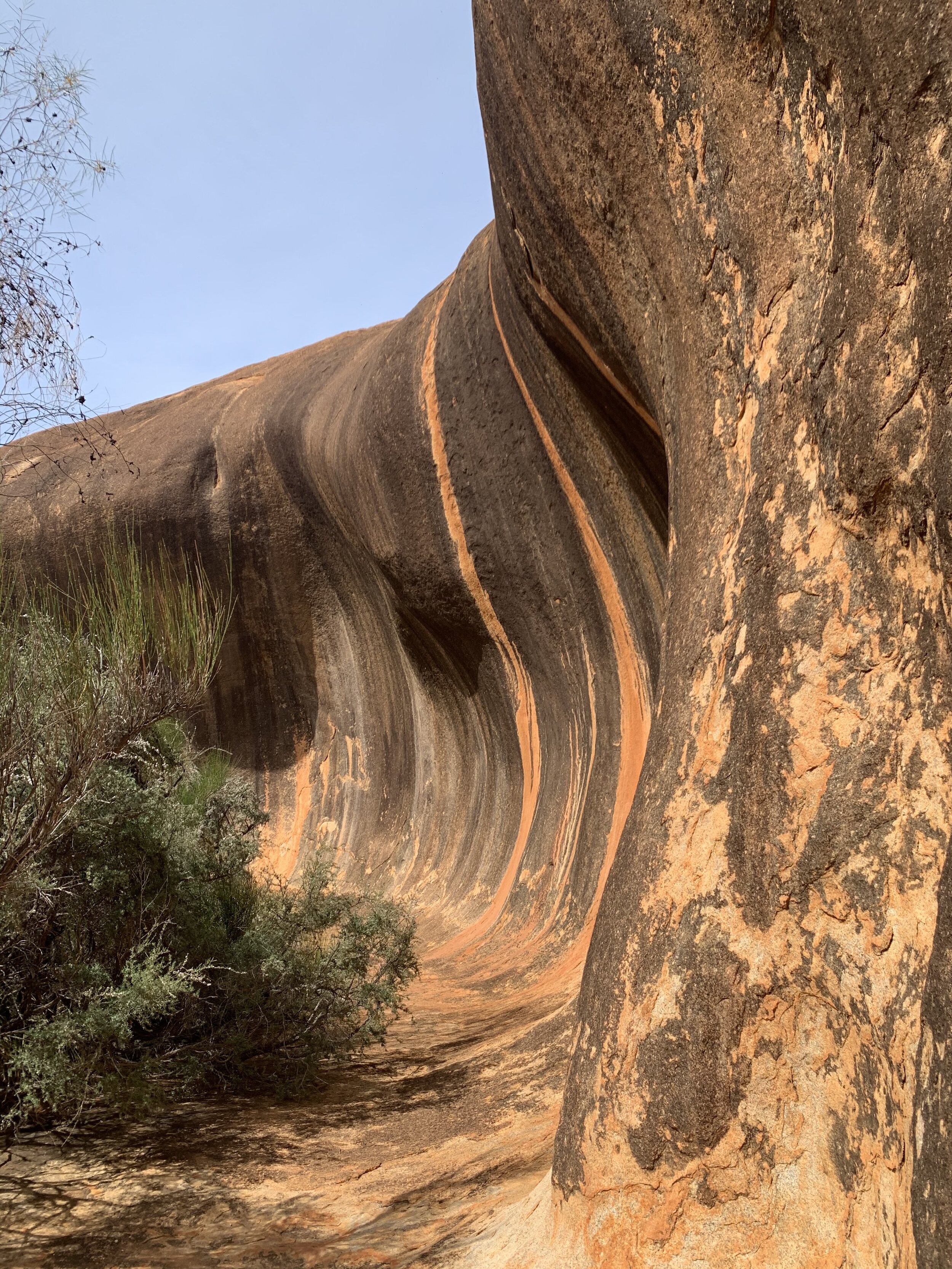
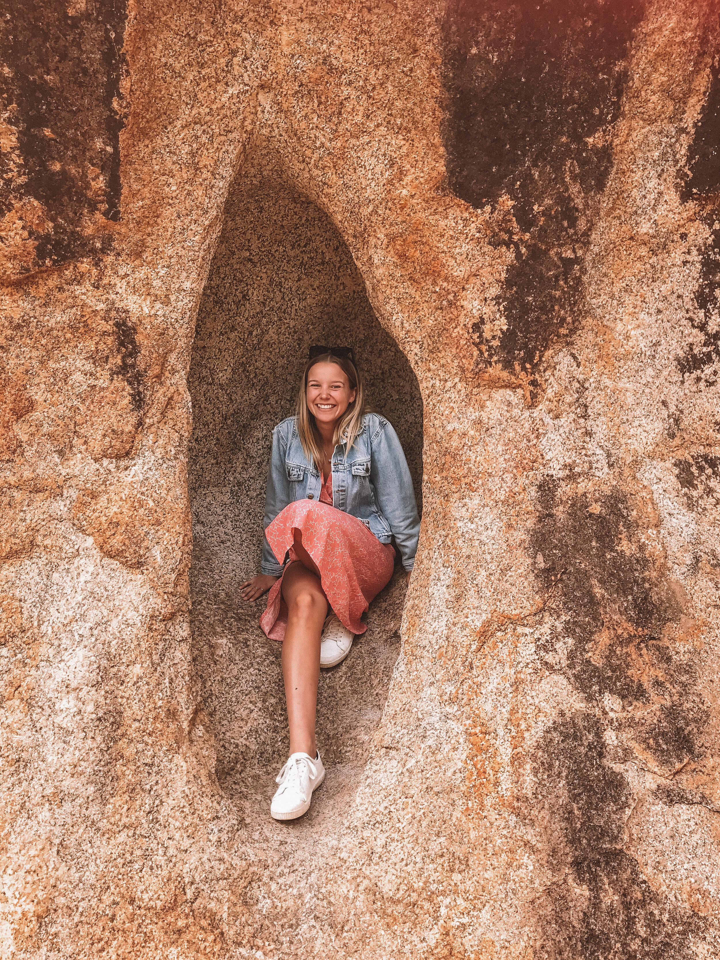
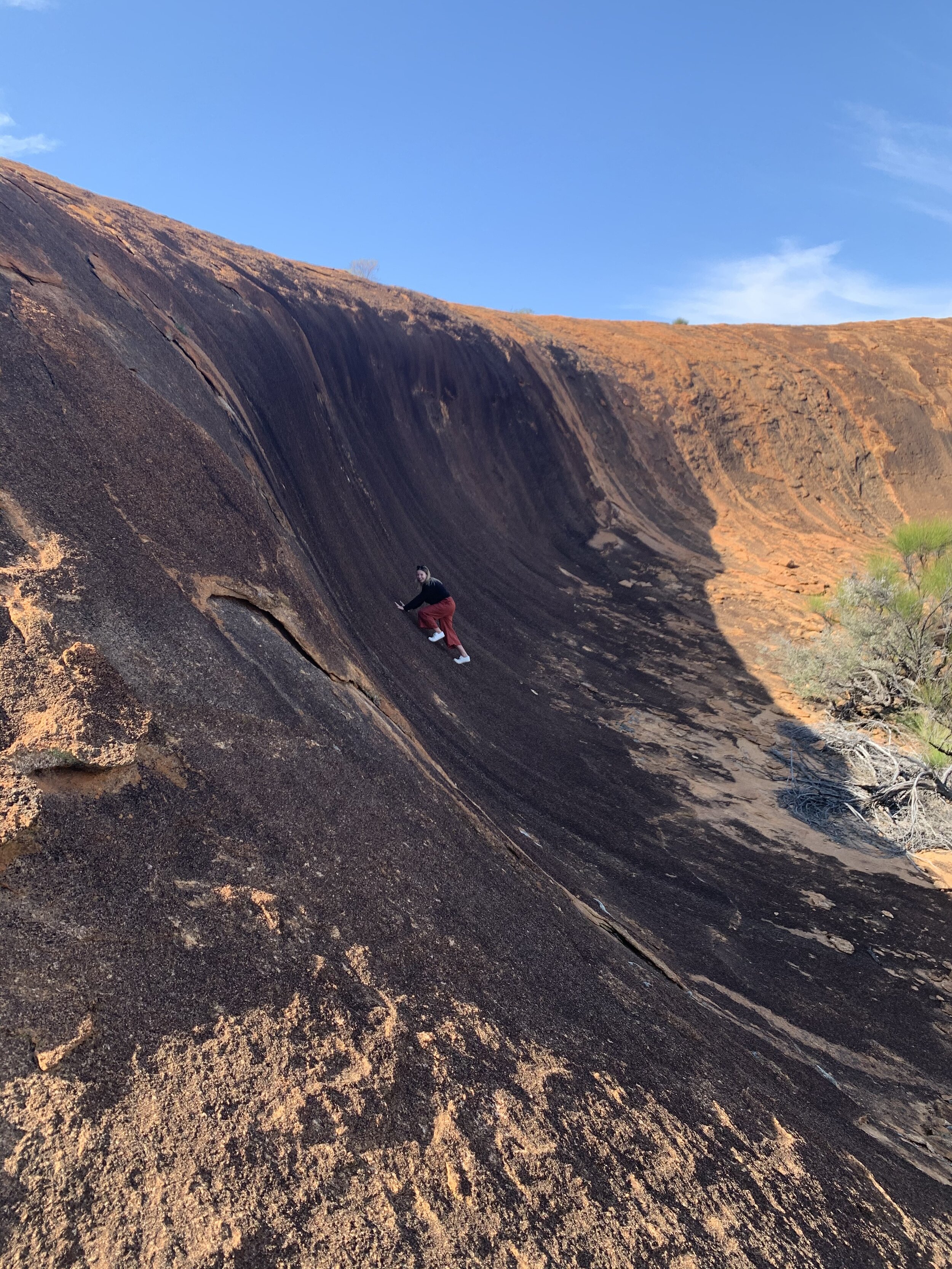
Along with the wildflowers (see my blog post for how to find them), this rock was the main reason we headed out into the Wheatbelt for a few days. We had seen photos and it looked so similar to Wave Rock in Hyden which is a hugely popular tourist destination. Everyone I asked about it actually thought it was Wave Rock. People who have lived in Perth their entire lives have never even heard of this spot so it’s a true hidden gem. It deserves to be appreciated though so here’s some info about it. As you enter the reserve, you will see the signs to the wave. Spend some time exploring this area as there is a wave, cave and tunnel all really close to one another and they are spectacular. There is a 6km walking track around the base of the rock which I wish we’d done now but I guess it’s just another excuse to return! If exploring the top of the rock during the day, keep an eye out for lizards sunning themselves. Sunset from the top of the rock was just stunning and if you’re feeling lazy like we were, there’s a 4wd track that leads you almost all the way to the top. We drove it in my aunties van which isn’t a 4X4 so you should be fine to get up there in a normal car (maybe just walk it first if you’re unsure). Apparently donkey orchids bloom around the base after winter rains so keep your eyes peeled.
4. Baladjie Rock
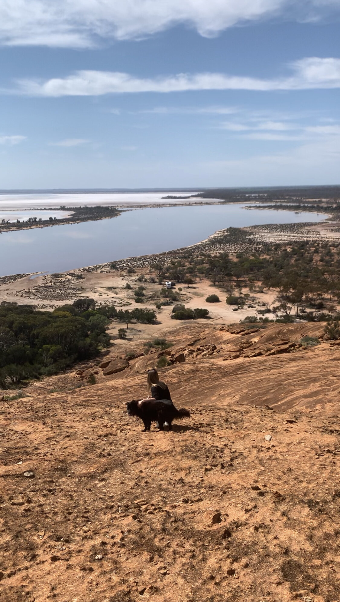
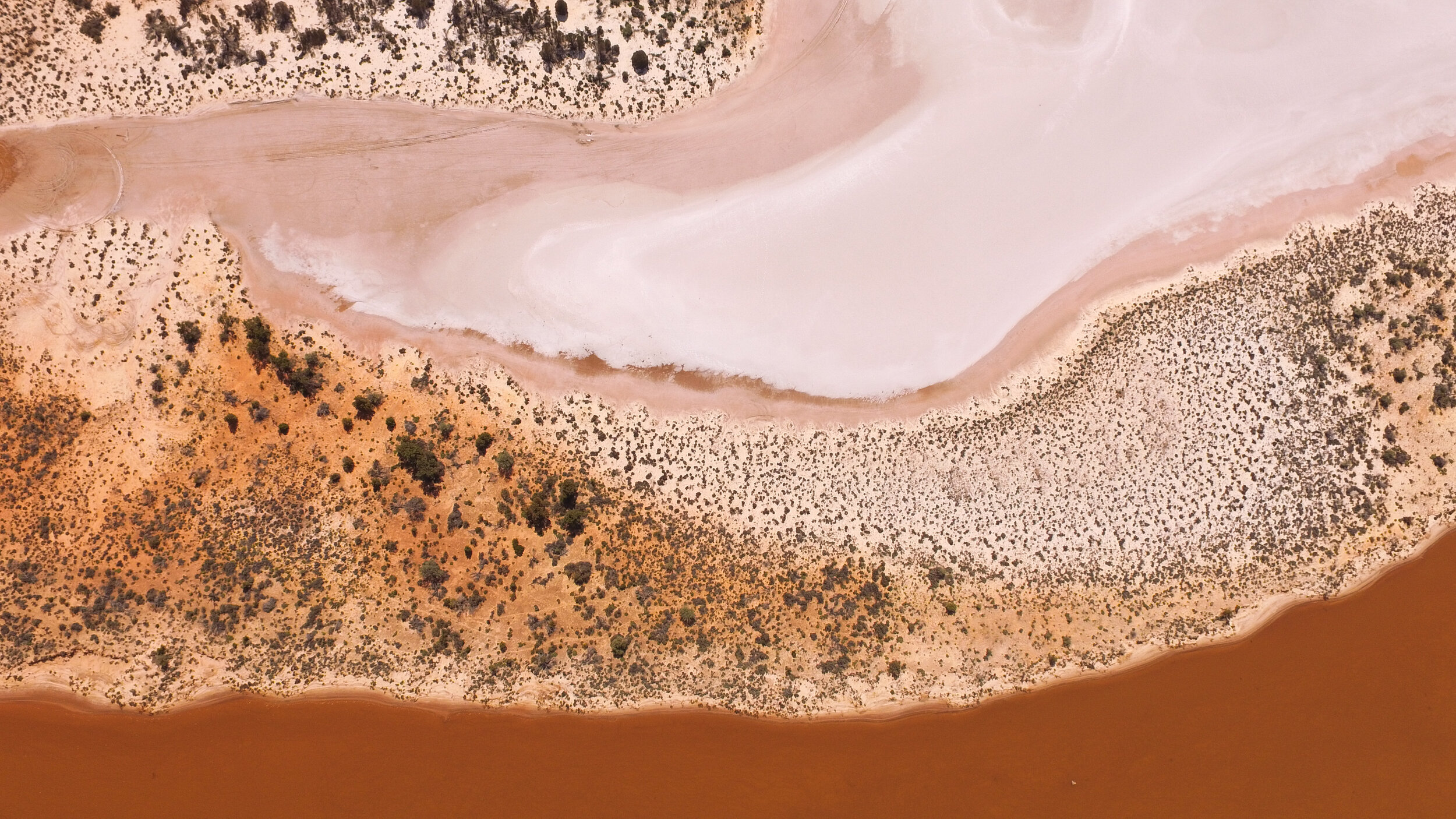
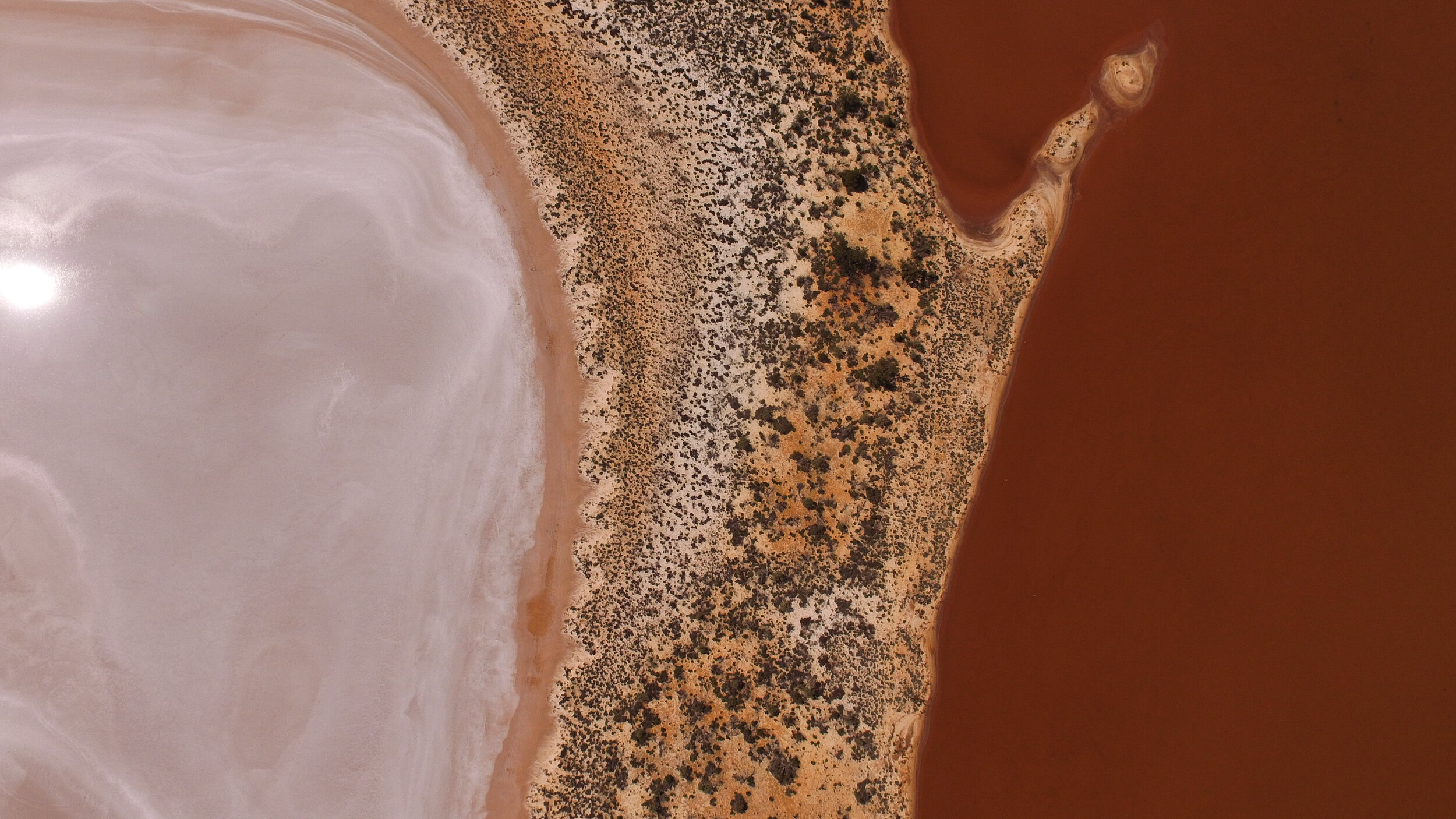
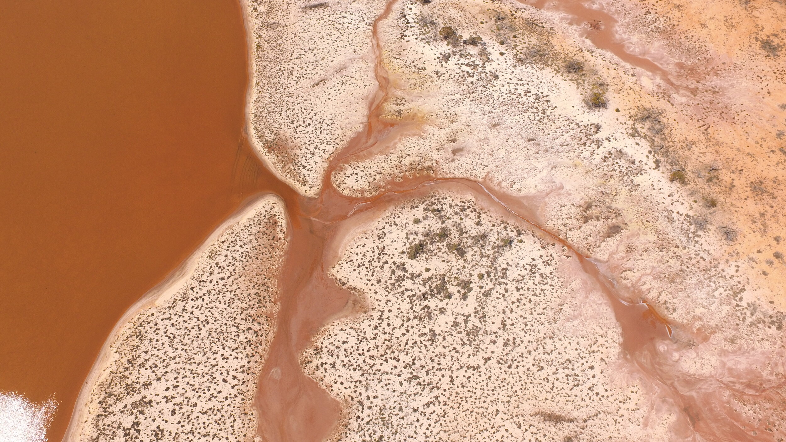
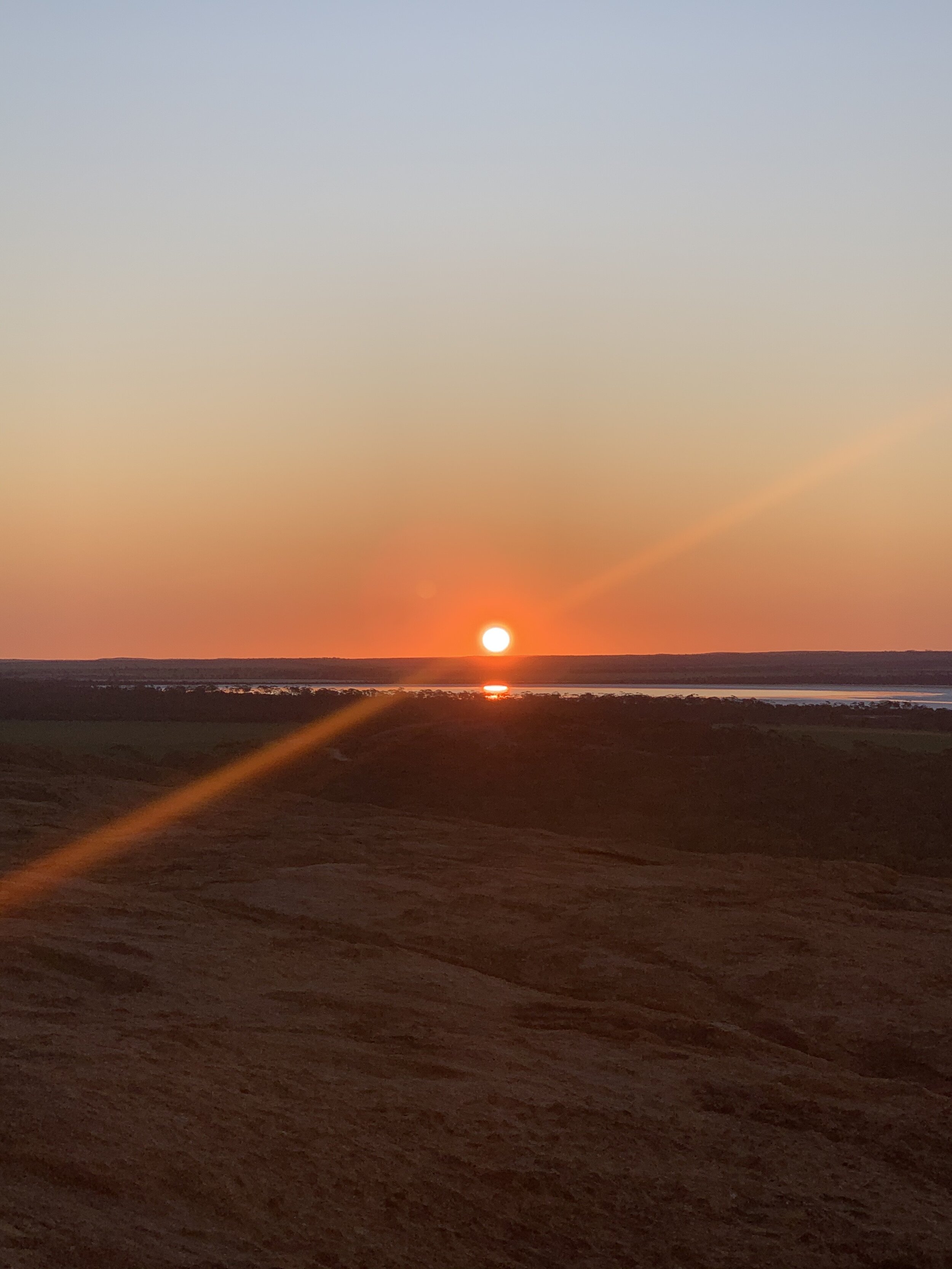
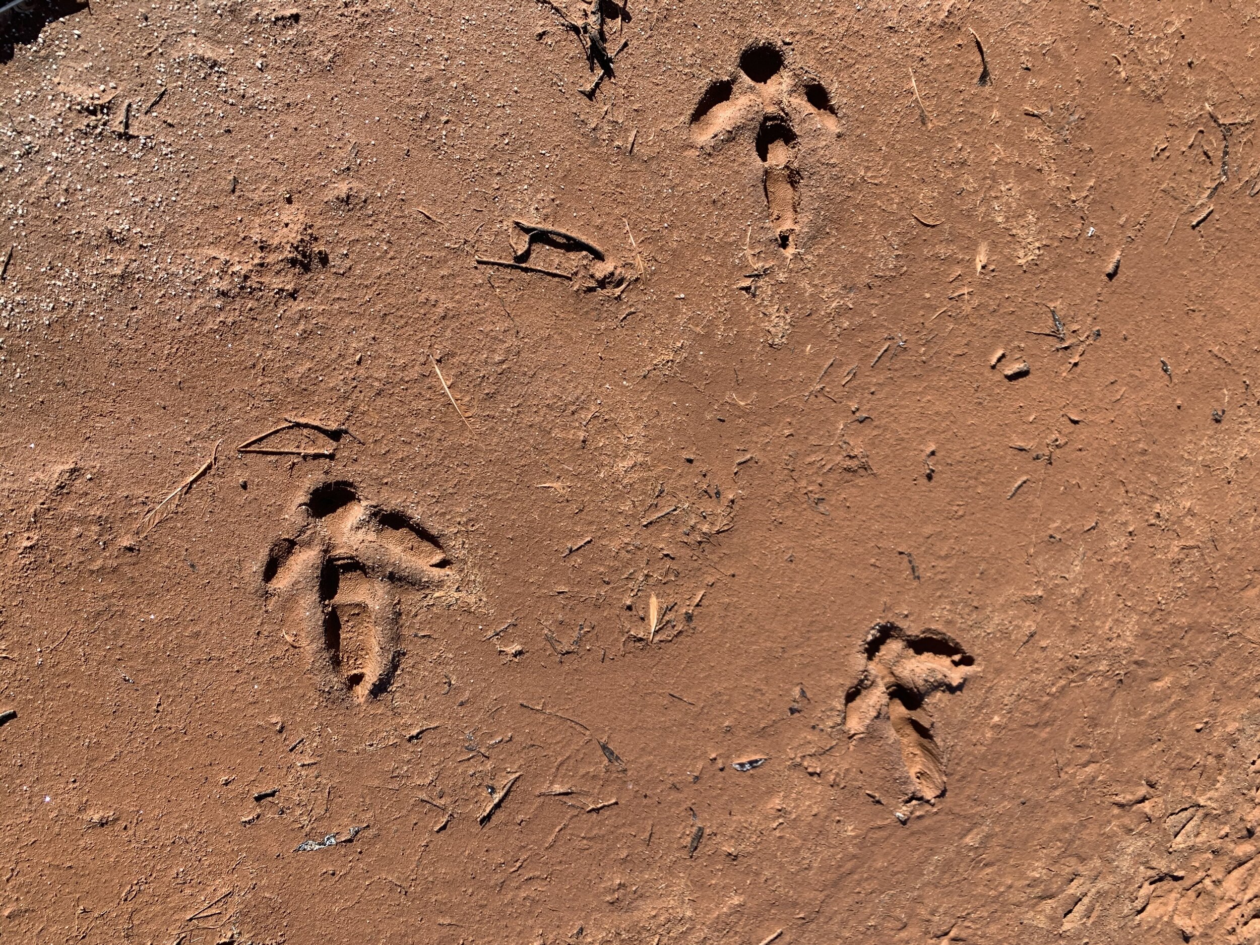
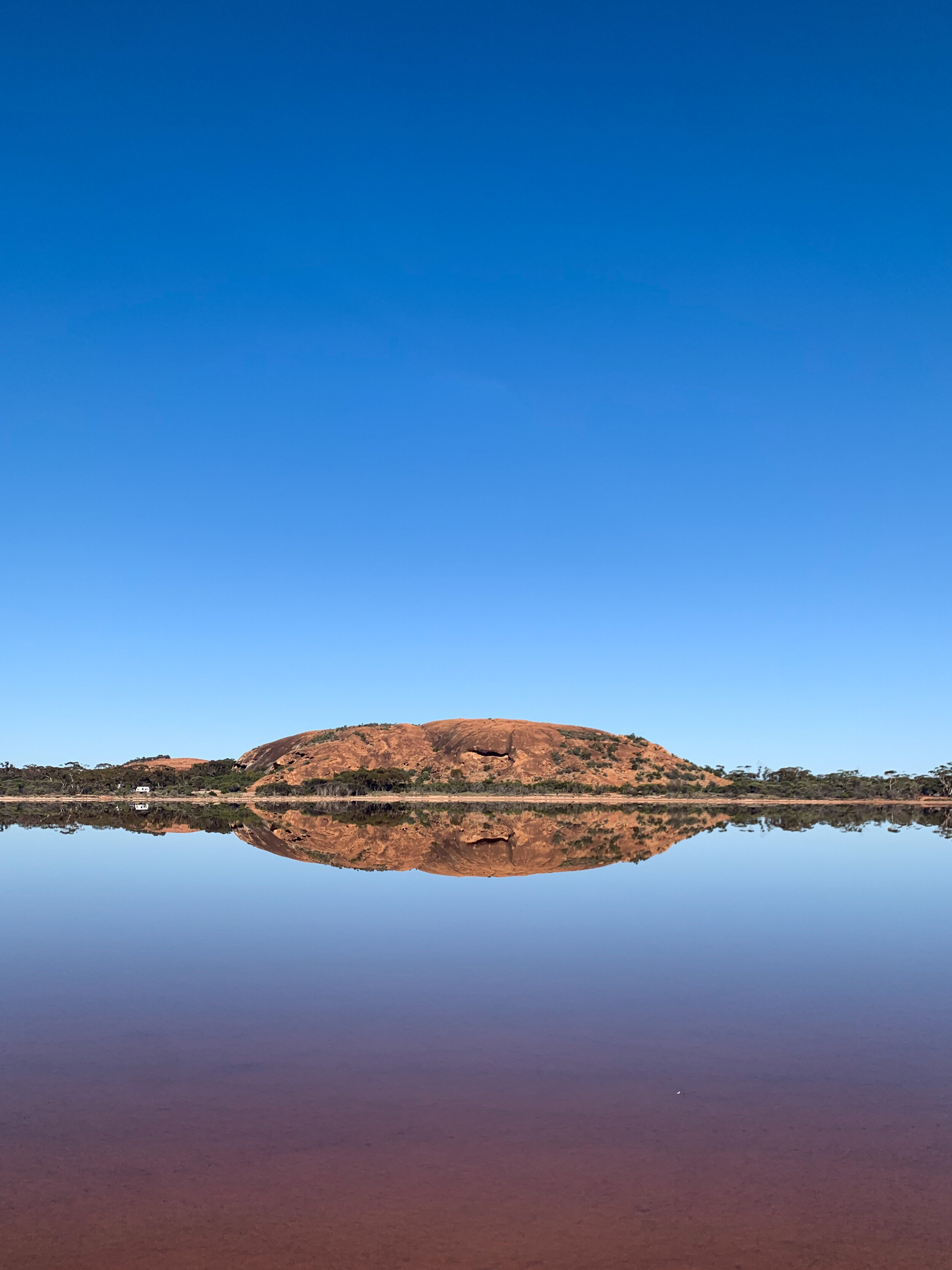
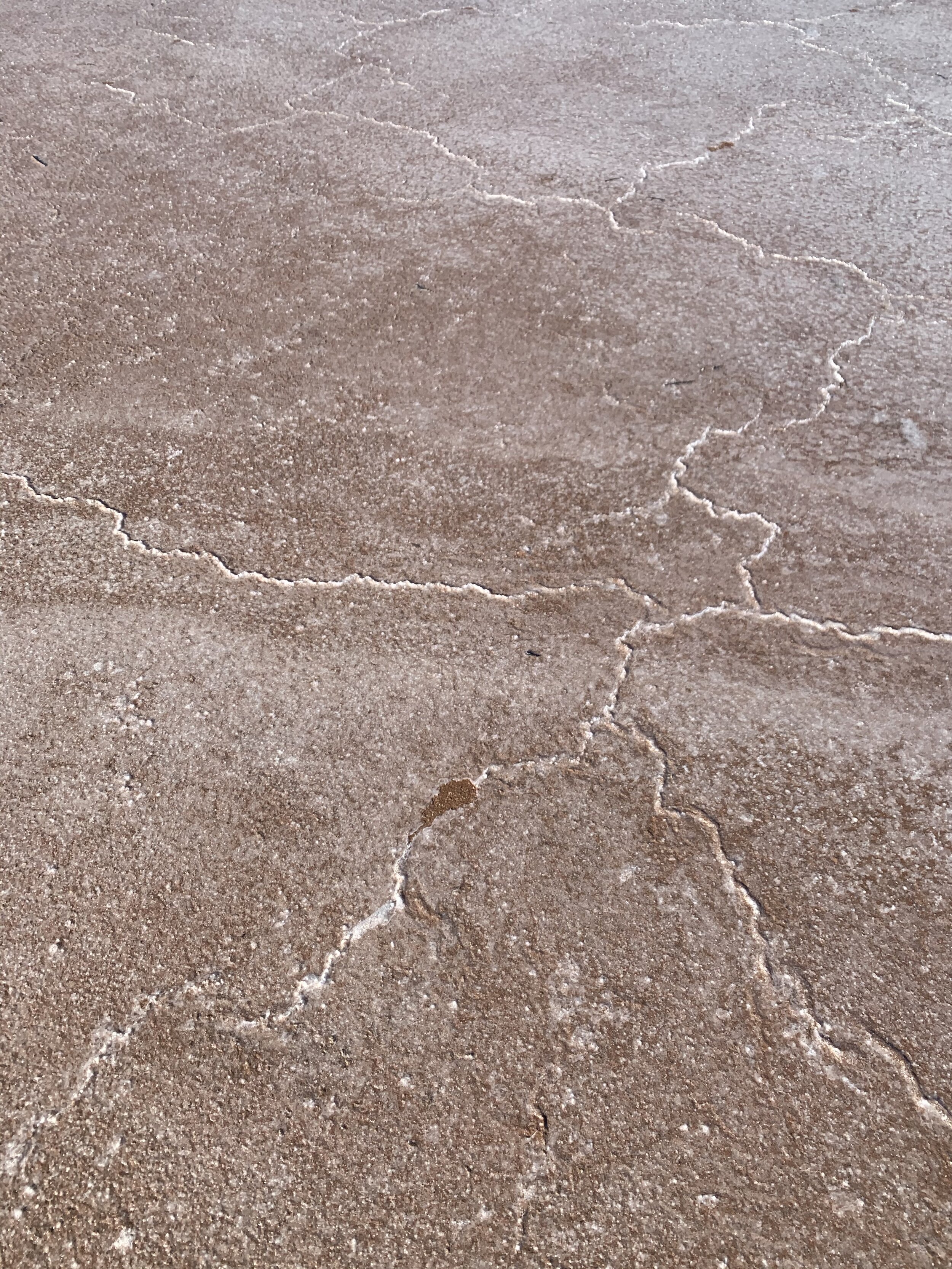
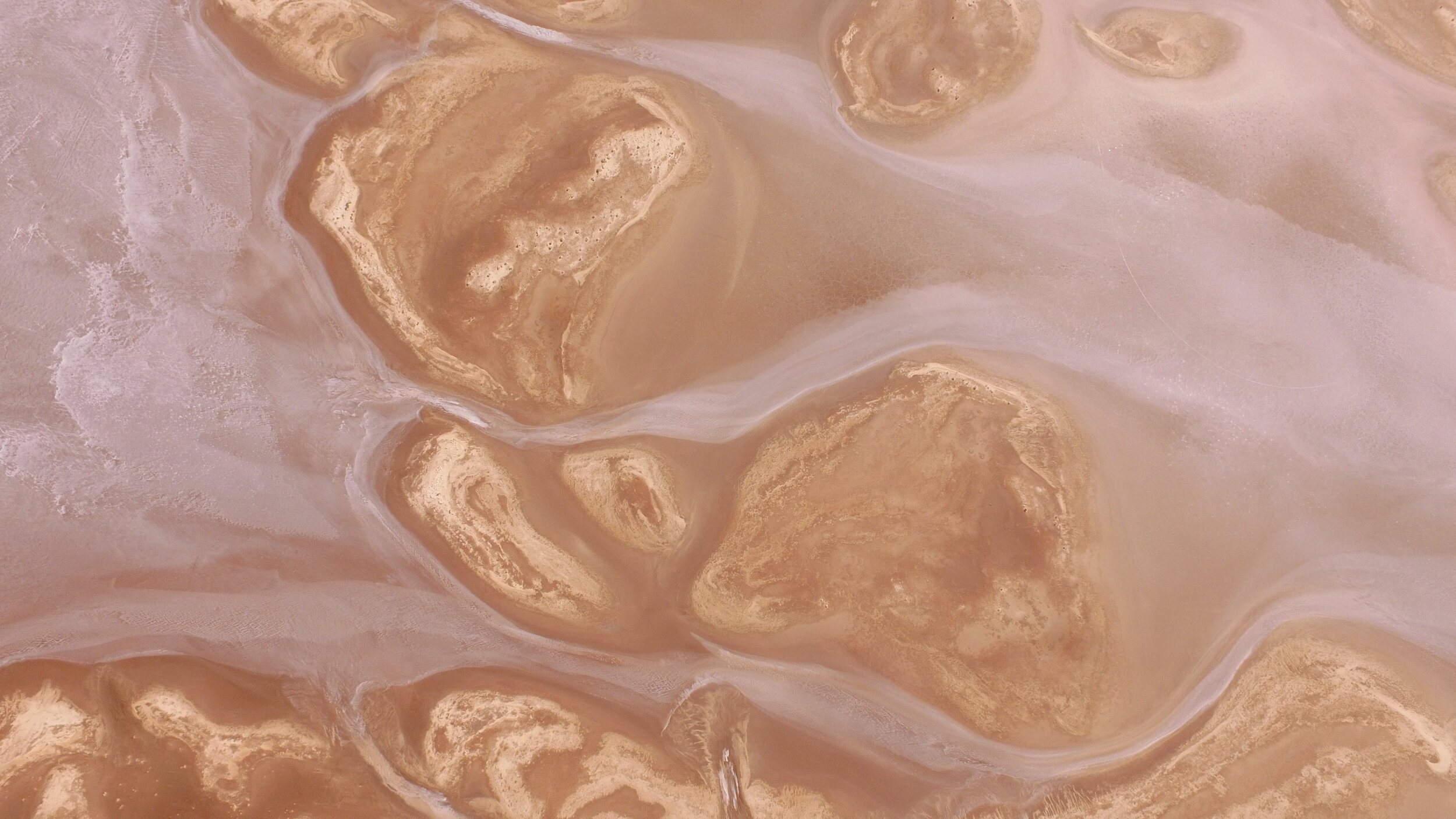
I don’t know how these rocks keep getting better but they do. Baladjie Rock wasn’t on our list but after seeing a sneaky photo in the Wheatbelt Way apps gallery, we knew we had to pop in to check it out. I tell you, this rock has it all! I seriously struggled choosing photos to show you because there is just so much beauty everywhere you look! Not only does it have the big trifecta; waves, caves and tunnels, it also overlooks a huge lake system. With wildflowers growing in crevices on top of the rock and multiple gnamma holes scattered around, you are going to want to climb up to the very top. If you look closely in the gnamma holes, you can see thousands of little critters. We even spotted tadpoles! We spent the first day climbing in and out of multiple caves and all of their ‘rooms’. If you’re feeling brave, it would actually be so cool to camp out in one of these caves! The colours of the rock and lake, make you want to whip out an easel right then and there and start painting a masterpiece. The second day, we spent wandering around the lakes. The lake closest to the rock is most probably less salty due to the rainfall that runs off the rock. The lakes further away though are extremely salty and would be completely dry most of the year. It was so cool seeing the patterns the salt created and tasting the salt straight from the ground. There wasn’t a toilet at this camp site but the cutest town of Westonia is only an hours’ drive away. A highlight for me at this rock was climbing up to watch the sunrise over the lakes and spotting a kangaroo jump across right in front of the lakes. It was so quiet out here that I could hear the kangaroo bounding from over 200 metres away. Iconic Australian moment, I think so! I just wish I’d had my camera!
5. Eagle Stone Rock
The entire trip, my aunty non-stop talked up the wildflowers at Eagle Stone Rock. She had visited two weeks beforehand and again another two weeks before that so we knew we had to make a stop off on our way home. Thankfully, she came through with the goods and I was not disappointed. Wildflowers of every colour imaginable lined the road! Everywhere else we had visited, there had been pockets of wildflowers all the same colour. My aunty said that each time she visited over the two months, different wildflowers had come out which just shows how quickly the landscape changes out here! There’s also another beautiful Salt Lake alongside the rock. It was a 28-degree day when we visited at the beginning of Spring, the flies were pretty atrocious and we were on our way home so we didn’t hang around for too long but this would be another perfect spot to camp. There’s some great spots for rock climbing too!
To note:
· We completed this trip at the beginning of September 2020. The wildflower season runs from July-October and the flowers pop up differently every year. Make sure you have a read of my blog post Top 4 Tips to Finding Wildflowers in the Wheatbelt if you’re wanting to find them.
· There is no reception at most of these spots so make sure you take a physical map with you. At some rocks, you can climb right up to the top and find perfect reception which is when I found time to update my Instagram.
· The signage is not the greatest at the best of times in WA but the sign for Baladjie Rock had been removed completely so make sure you keep an eye out for the turn offs.
If you’ve got any questions about these rocks, are planning a trip out here or have some memories to share, please leave a comment below or Contact Me. I’m always up for a chat!

